Hamilton Peak
We’ve been up to Camp Saddle a few times, but only from the Broken River side of the saddle. The plan for today was to walk up the Craigieburn Edge Track and have a look at the unmarked route up to Camp Saddle from that side.
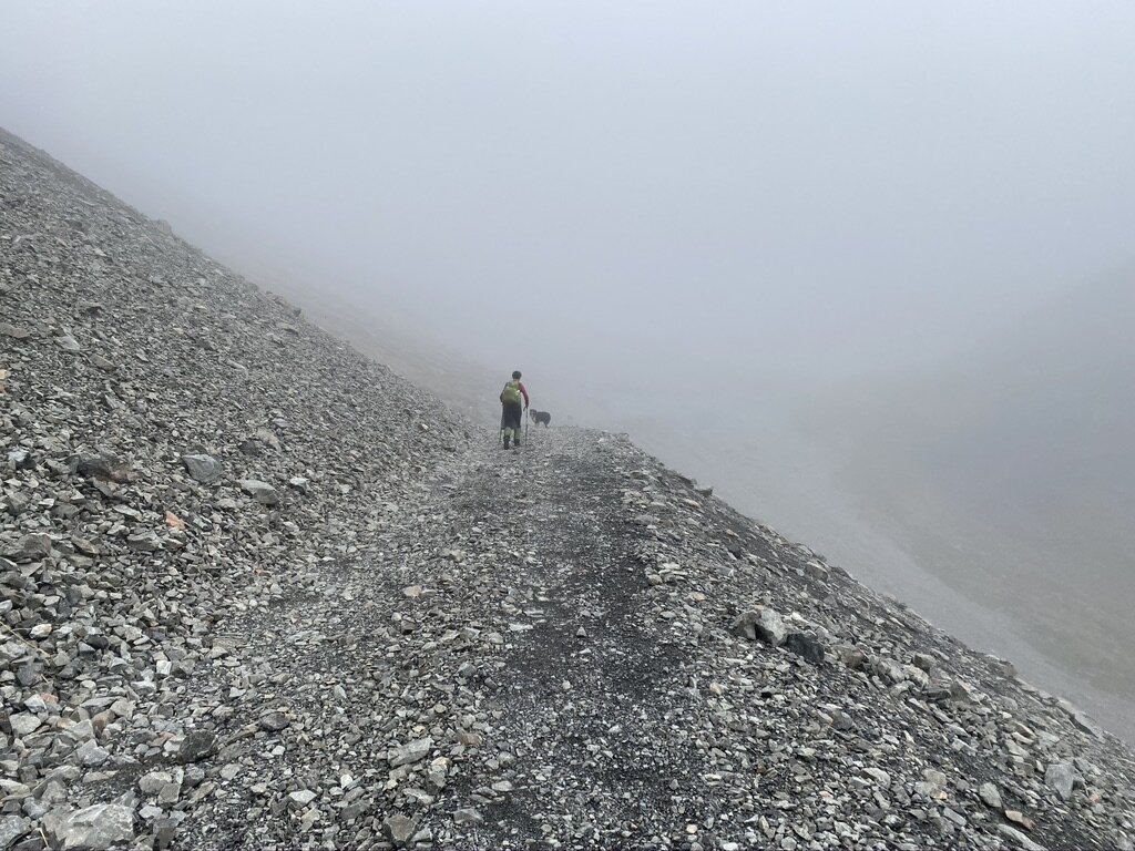
It was misty with intermittent drizzle, but the forecast was for it to clear in the afternoon. So we parked at the locked gate at the bottom of the Craigieburn Ski Field road and set off. After about 10 minutes the Cragieburn Edge Track appears on the left (we’d nearly missed it before).
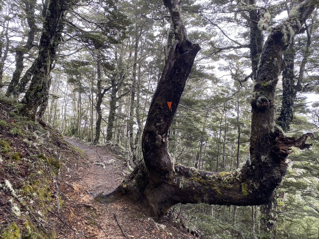
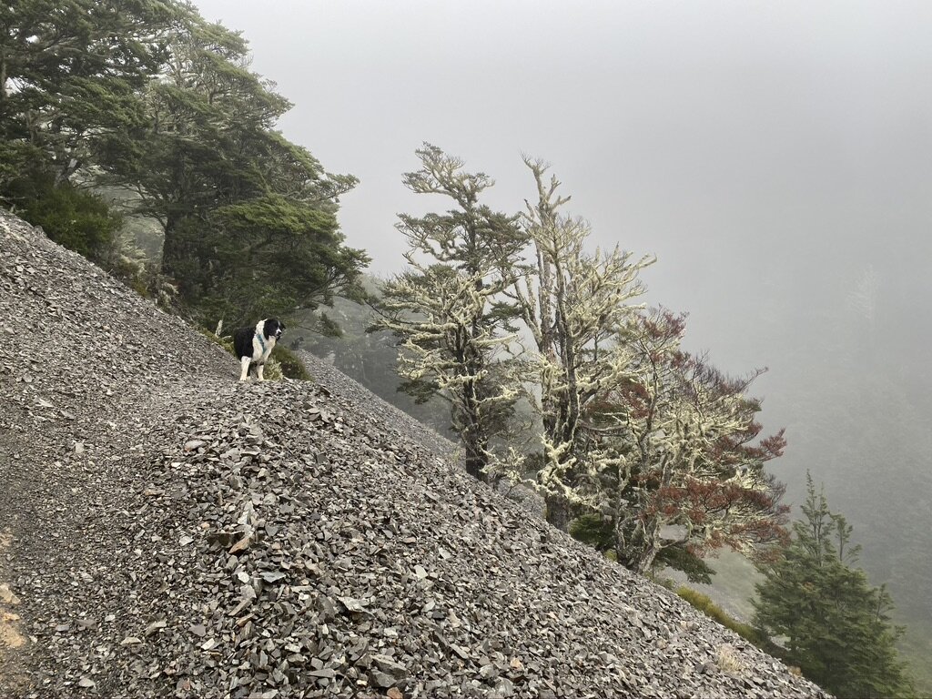
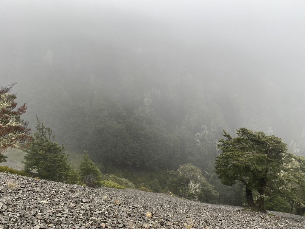
The trip along the Edge Track was awesome in the mist with long forest sections interspersed with scree slopes to traverse.
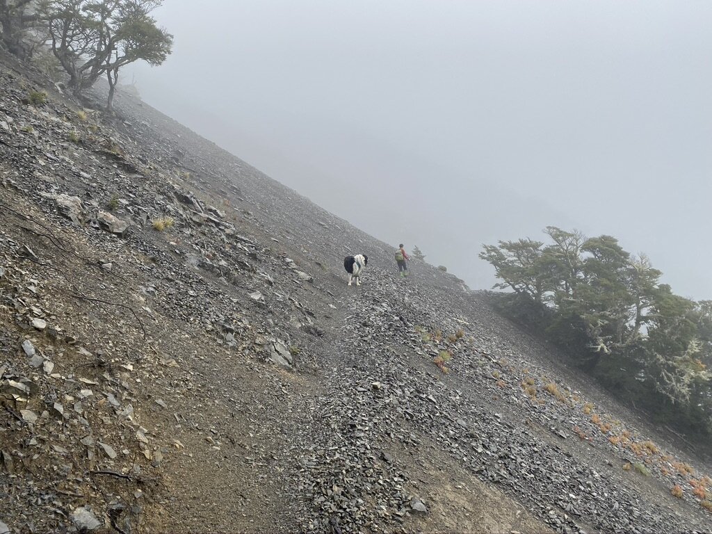
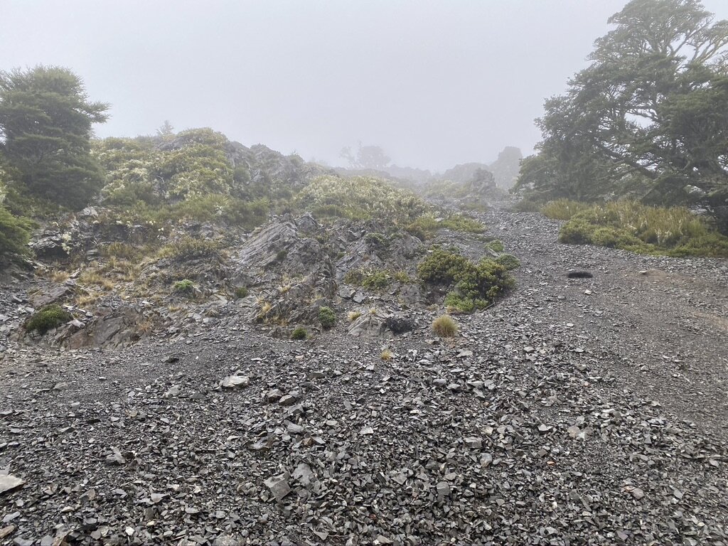
When we got to the turnoff for Camp Saddle it was still misty and drizzling.The humans decided that exploring off-route in low visibility on a route they hadn’t done before wasn’t what they signed up for today, and chose to explore up the ski field road instead.
I didn’t know this at the time, but this decision added 500m in elevation to our walk. In case you don’t know, that is a lot of uphill, trust me!
So up we went - to the ski field road, up the ski field road, beyond the lodge and up.
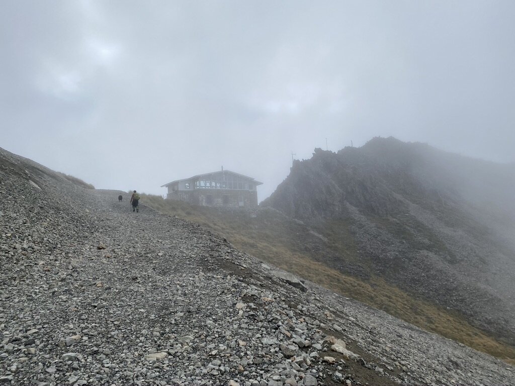
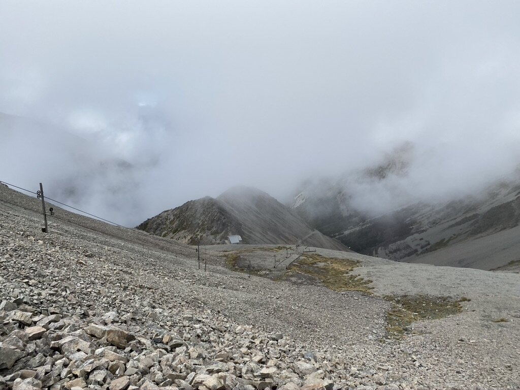
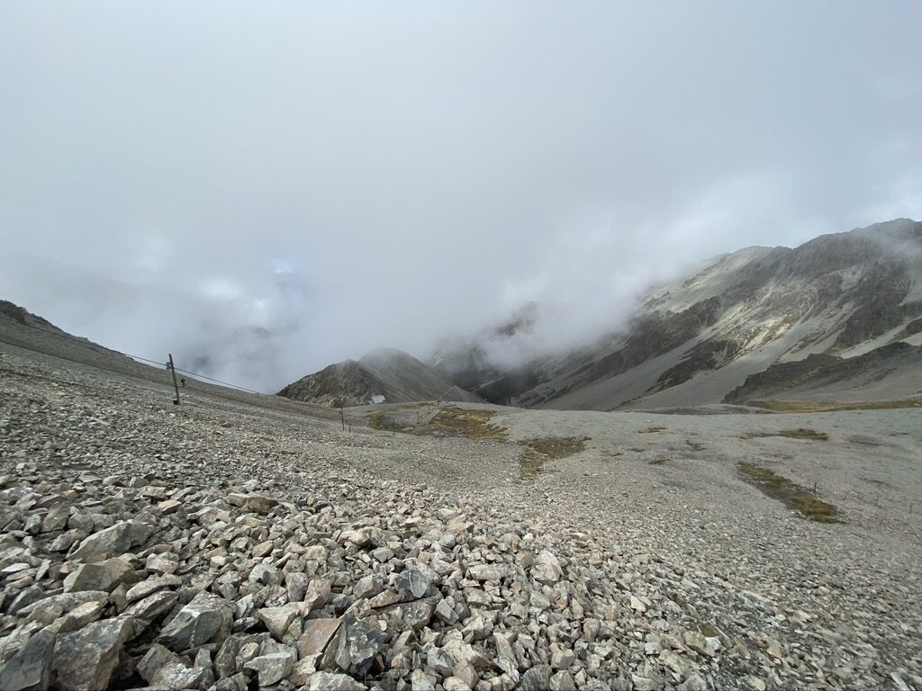
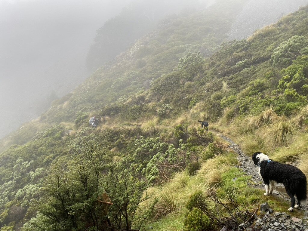
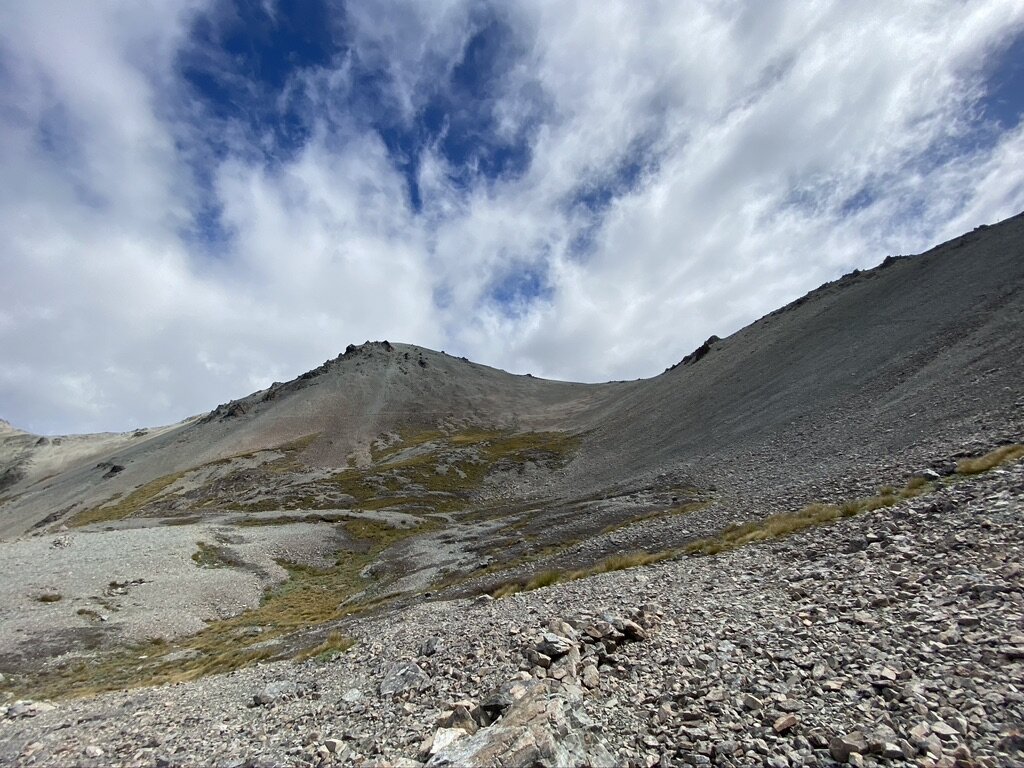
When we got to the end of the road section, it became a path of sorts, and when that petered out it was still misty, clearing and bit, and then misting over again. The humans weren’t sure whether to keep going, wait, or turn back.
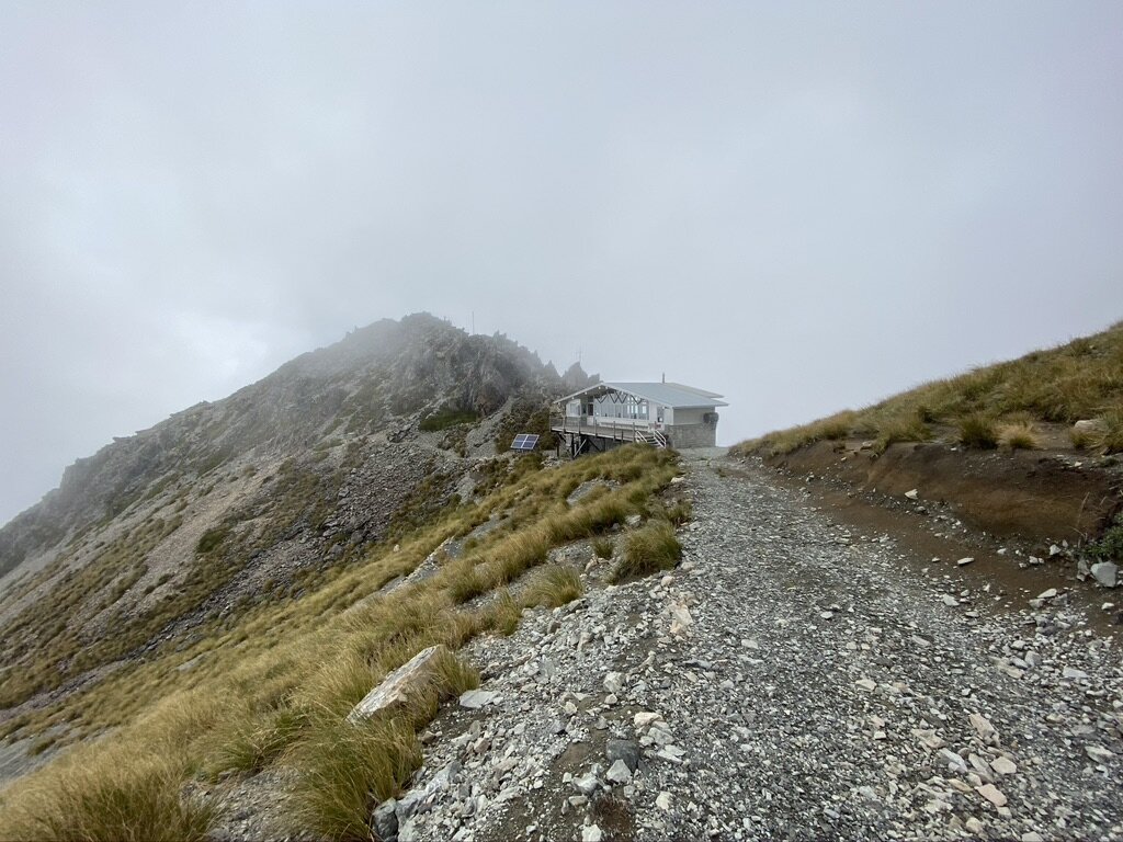
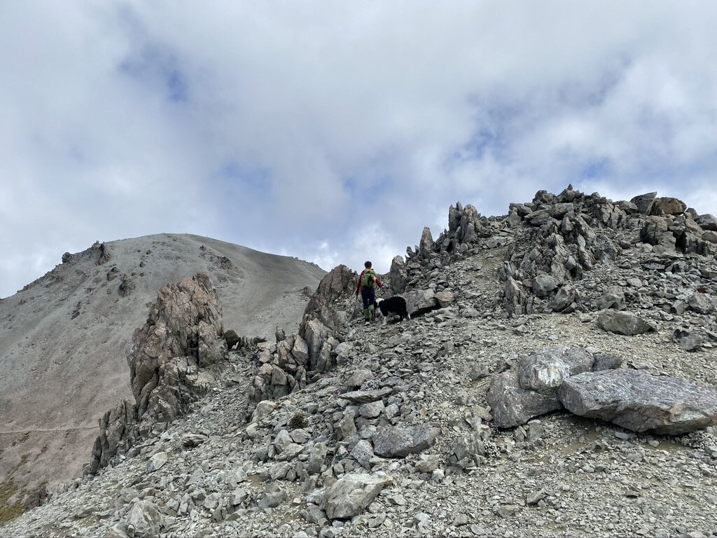
Still hoping for some sort of view for all the uphill effort they decided to follow the ski lift up the slope so that we could find our way back down if the visibility deteriorated.
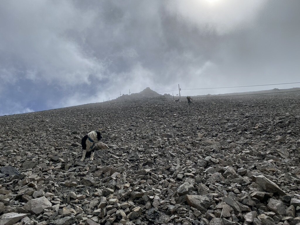
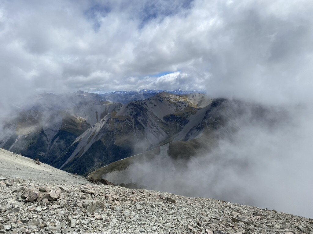
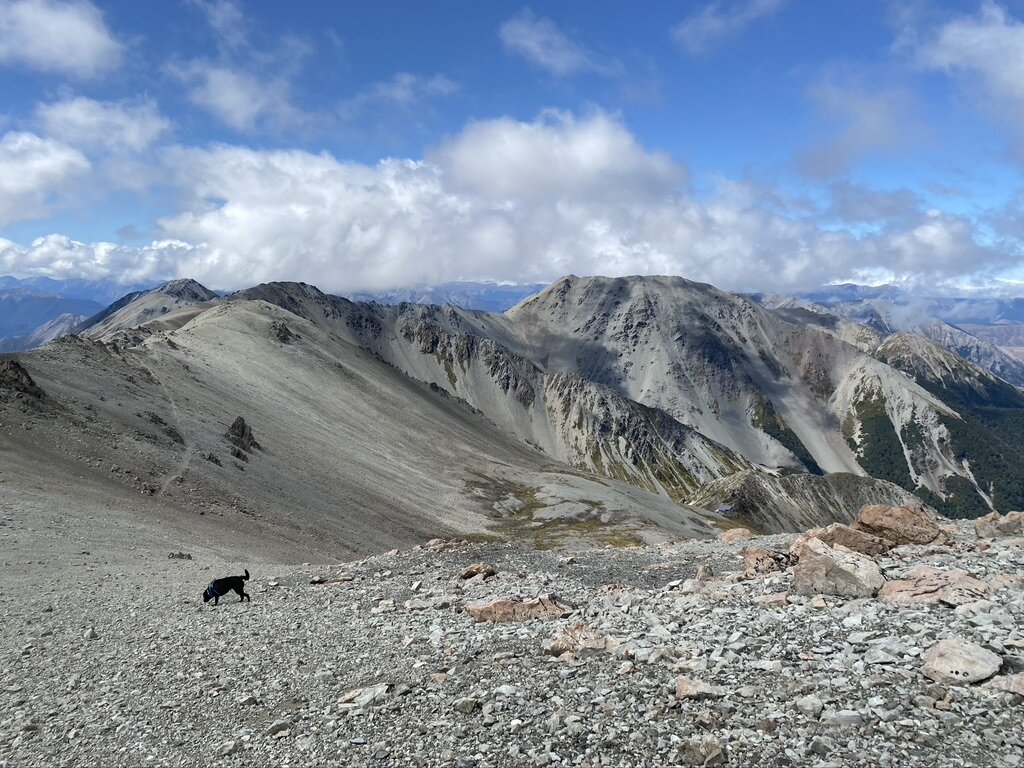
As we neared the top, Hamilton Peak finally appeared out of the mist. We had no plan to go there at this stage - just up to the ridge for the view.The higher we got the more the mist lifted. We got the views we were hoping for!
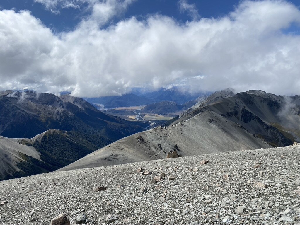
Panoramic shot of the view into Cass Valley. Mum said she’s walked up the valley and over the Cass-Lagoon Saddle, but can’t take me ‘cos dogs aren’t allowed. Hmph.The humans had a second lunch at the top, and we spent a while just relaxing and enjoying the view - and eating treats. Then it was time to head back.
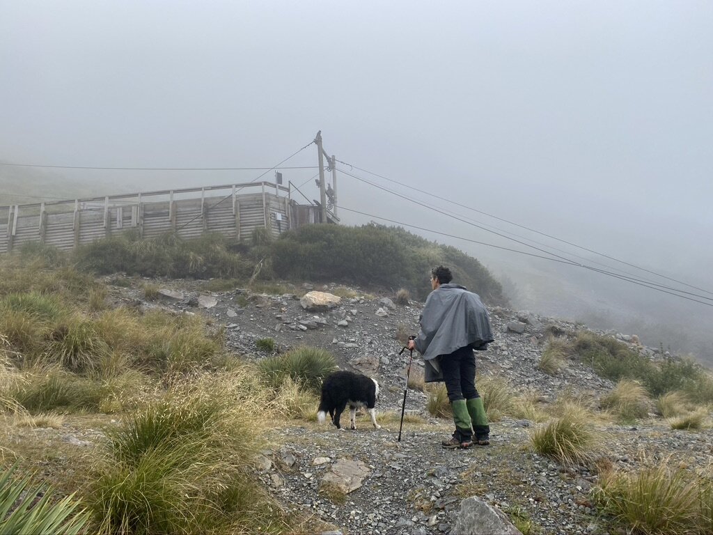
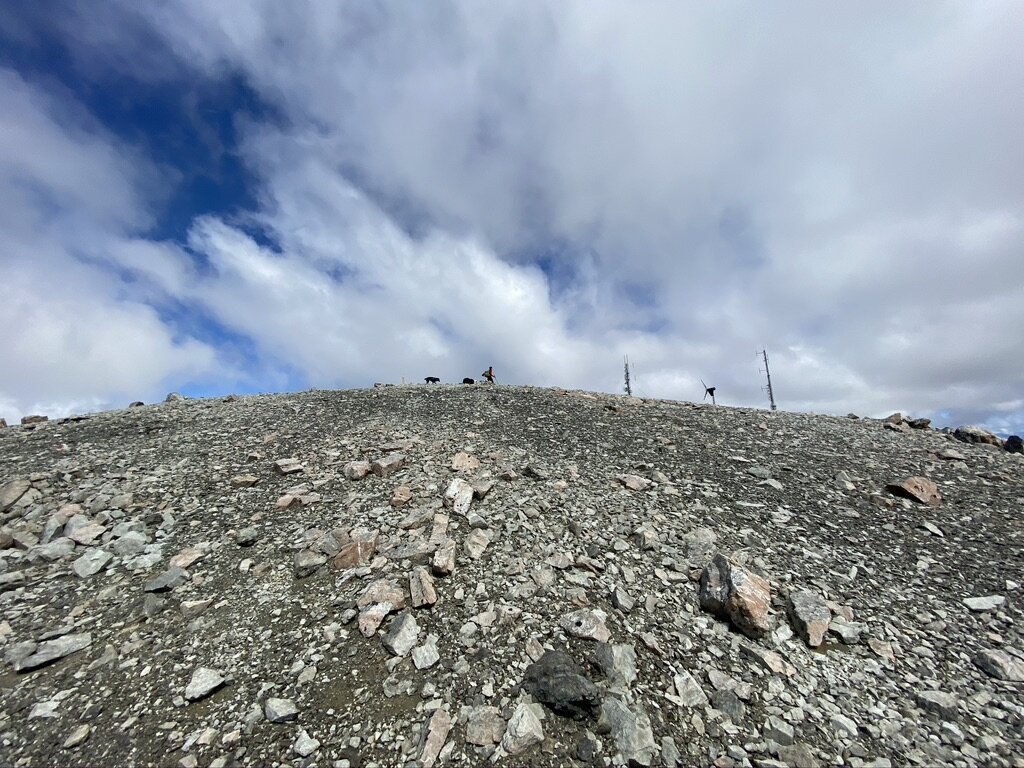
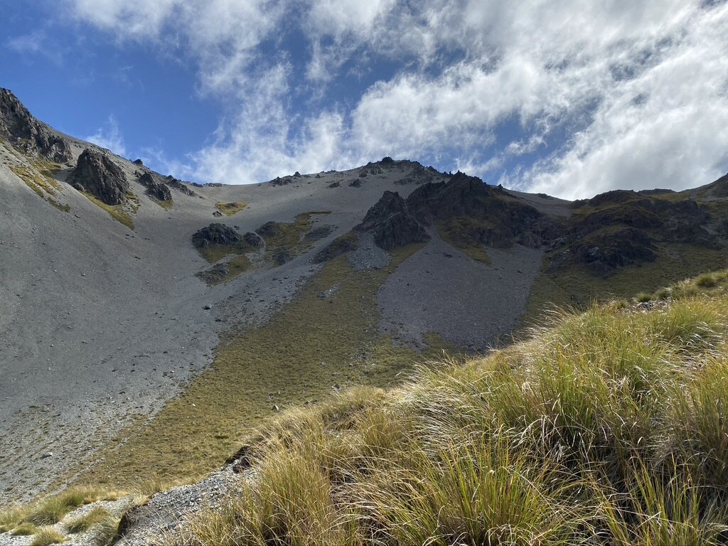
The Hamilton Peak emergency stop button failed. We were about to head down when Liz said: “Do you want to take a quick look at the hut and the outcrop?”So, instead of heading downhill, we walked a little bit further along the ridge, and then a little bit further, until it was clear that we were committed to going up to Hamilton Peak. Fortunately, it was a lot easier climbing than walking up under the ski lift area.
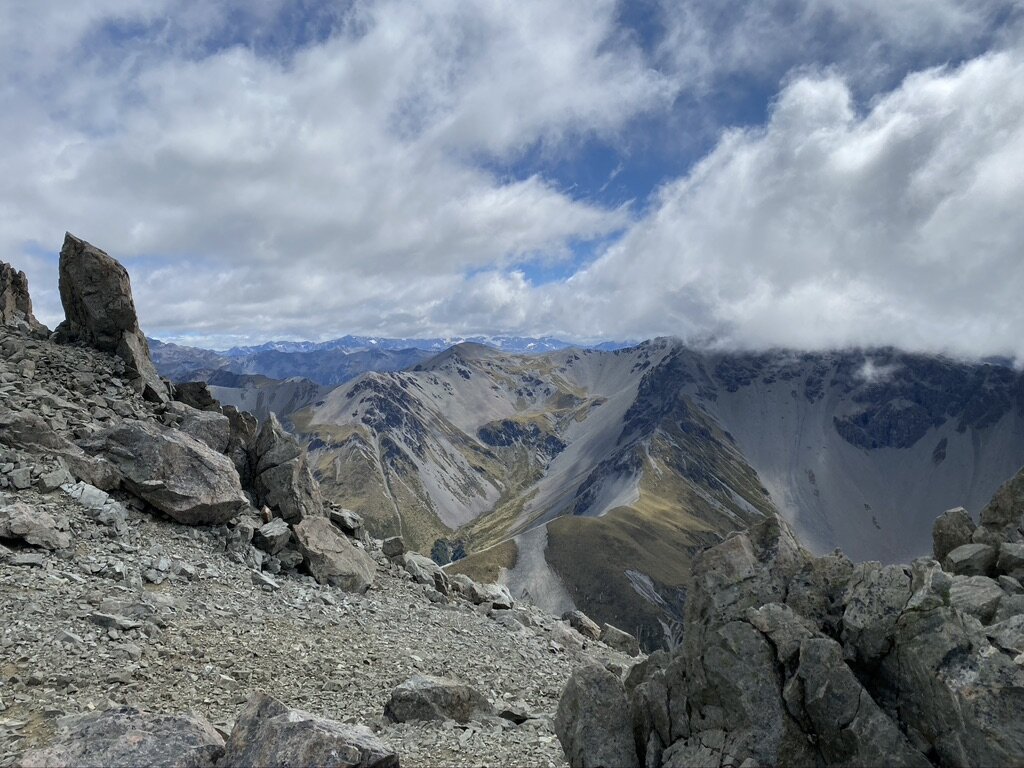
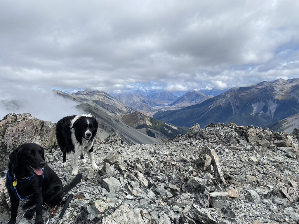
It was windy at the top and I didn’t like the noisy wind turbine thingy thumping away. The view was amazing here too - and then it was time to head back.
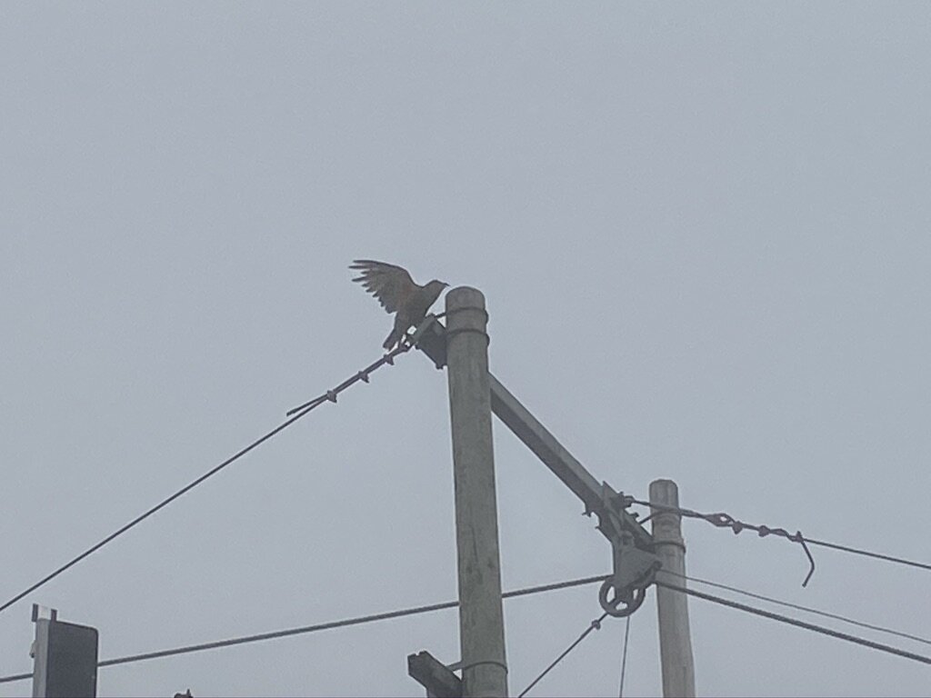
Just before we finished the road section and hopped back onto the Edge Track the kea came out to check what we were up to. I wanted to chase them, but Mum said that’s not allowed.
It wasn’t too much longer and we were back on the Edge Track. I was looking forward to the softer forest floor. I’d totally forgotten about the scree sections and wasn’t pleased when we came to them. Mum said I was totally over walking on scree for the day. I tried to lie down before the start of the last scree section, but Mum said it wasn’t too long to the car.
The view looking back from one of the scree sections on the Edge Track. Mum has added text to help you find where we came up, the ski field road and Hamilton Peak.
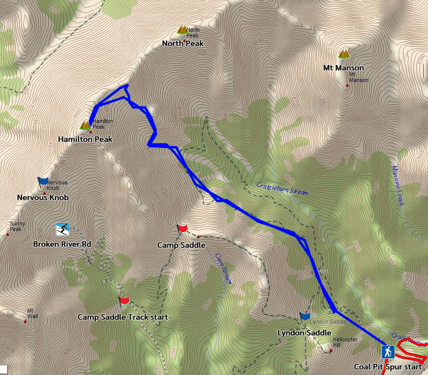
Our route in blue from Mum’s GPS. The GPS said 12km, Mum’s Fitbit said 20km… so it was somewhere in between the two!Mum says it is just as well it was misty - she’s not sure she would have kept walking if she could see how far away the top was. However, if it wasn’t misty we would have done the much easier Camp Saddle route. I suspect mist is not my friend, but it was much cooler than walking in bright sunlight - and kinda magical when the views appeared.